![]()
![]()
Monday 16th February, 2004
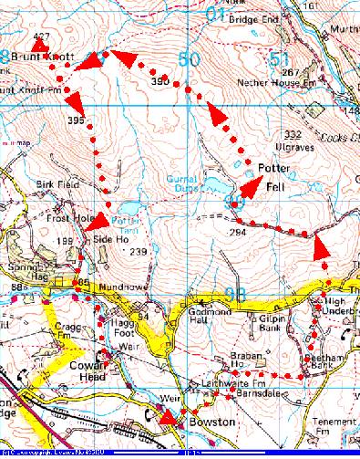
Brunt Knott
A walk with Peter Burgess
Start Point: SD 497 966 Bowston bridge between Burneside and Staveley.
End Point: SD 497 966
Distance: 8.1 miles / 13km
Max Height: 1,385 feet / 422m
Height Ascended: 1693 feet / 516m
Estimated Time: 3 hrs 28 mins
Weather: 2°C, Overcast and cloudy with some sunny spells midway.
General Description: An easy ascent, although several walls make progress difficult at times. A degree of fitness is needed in order to traverse at least two walls impeding progress on this route. Be warned, AW's guide to the Outlying Fells has been somewhat hijacked by post-publication changes to the walls and field boundaries. This walk seems positively unfriendly to walkers at two points. Easier routes without this problem can be taken from Longsleddale. Potter Tarn can be easily climbed from two main points on the Potter Fell Road, Wainwright's 'back road'.
Route Map:
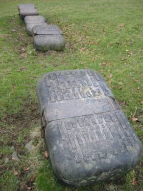
Aqueduct covers near Braban House
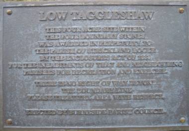
"This four acre site within
the four boundary stones
was awarded in perpetuity to
the Parish of Strickland Roger
by the Enclosures Act of 1838
for the inhabitants of that and neighbouring
parishes for recreation and exercise.
There is no right of way beyond
the boundary line.
Please treat the area with respect.
Erected by Burneside Parish Council"
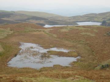
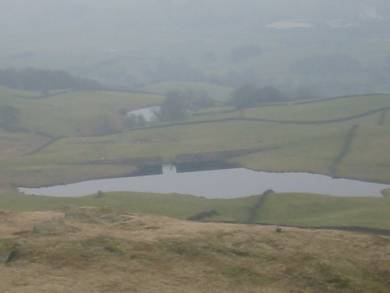
Gurnal Dubs in the distance with High Taggleshaw
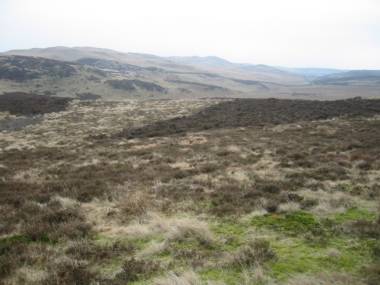
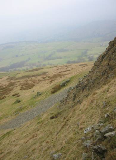
The remote fell south of un-named summit 390m.
The walking is more difficult than you might think. Many walls, now reinforced with high deer fencing criss-cross the fell and make progress difficult. Access is somewhat restricted and the route shown here will need a high degree of athleticism to traverse the wall crossings without damage to person or structure!
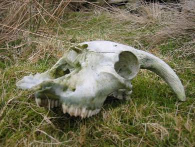
A sheep skull
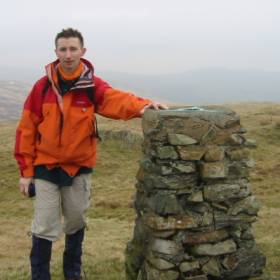
The summit of Brunt Knott.
Peter Dobson photographed me. He was taking a breather at the summit and probably didn't expect me disturbing his solitude. After we had a chat about his own interesting business based near Kendal. Here's some information:-
"With regards to the Bothy Shelters I make here is the link
www.outdoorstore.co.uk
If you like Ii can send a banner and visa versa for reciprocal link
I also flog some mardale gear - notably their pile and Pertex jackets -
I currently have some clearance stock of the pullover Alaskan jackets which
work out at half price
a bargain if any of your mates are interested"
The steep southern flank of Brunt Knott
Potter Tarn from the north

Another Thirlmere aqueduct gate - near Side Farm
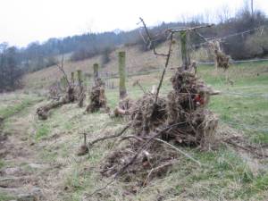
Evidence of high flood levels leaving debris jammed in the fences along the River Kent. Parts of Kendal were submerged and one of the industrial estates was being accessed by boat earlier in the previous week!

Peter M. Burgess, 2003
'fellrunning'