
![]()
Thursday 17th February, 2005
Sheffield Pike, Helvellyn and Swirral
A walk with Peter Burgess
Start Point: NY 386 169
End Point: NY 386 169
Distance: 10.75 miles
Max Height: 3118
Height Ascended: 4288
Estimated Time: 3 hours
Weather: High level cloud. Freezing above 1500'
General Description: An ascent of Glenridding's 'Eiger'. An interesting and varied day over a less frequented fell taking in an English Munro and descent of a classic ridge.
.
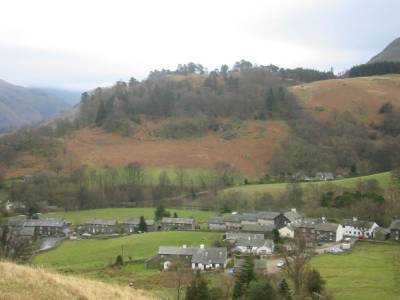
The walk started by passing the Travellers' Rest and then continuing up the Greenside Road. I then flicked right and through a field provided with gates at top and bottom but both demonstrating a 'Private - No Path' notice. I ignored the signs but did politely keep to the periphery of the field.

Who's kidding? Can you really own God's own country?
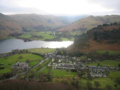
Ullswater reflects some weak sunlight on the very steep ascent of Glenridding Dodd
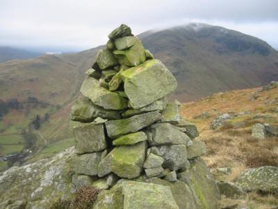
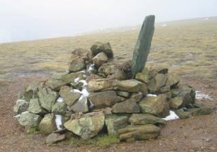
The Summit of Glenridding Dodd
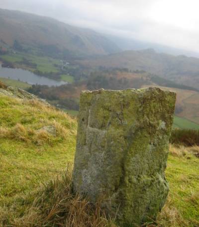
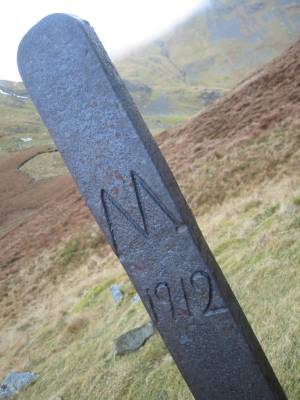
Howard and Greystoke estates boundary marker. This stone and the iron edifice below show 'G's and 'H's respectively. It is interesting that although AW makes reference to the iron examples below (of which there are at least 2) he makes no mention of this small stone on the lowest part of the south-east ridge, Sheffield Pike. Did the great man miss it, or has it come later?
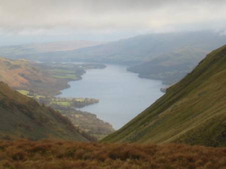
A view of Ullswater looking past Nick Head over Glencoyne
Defintely Stybarrow Dodd. Or is it?
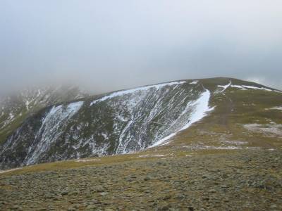
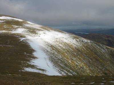
Apporaching White Side
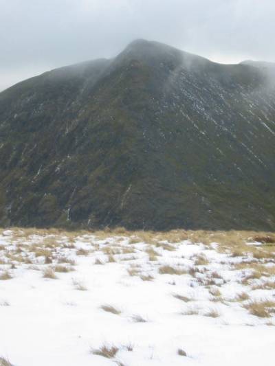
Catstycam looks a powerful mountain from this north-north-east direction
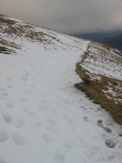
Snow bound path on White Side
The well graded path coming up from Greenside
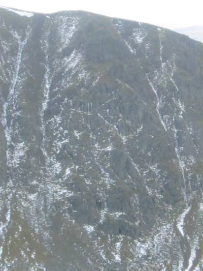
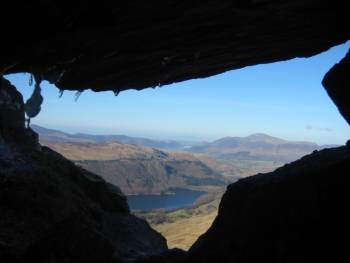
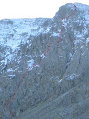
Browncove Crags - Riley's Window (right) is about two-thirds the way up this photograph. The views below from my scramble last year.

People trooping across the top of Browncove Crags bound for Lower Man
The summit cornice
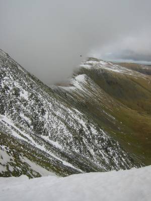
Cloud begins to flood over from the Thirlmere valley
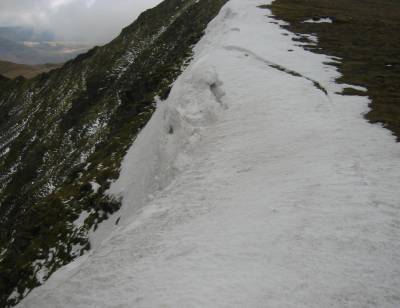
Signs of avalanche possibility - never walk on or near cornices unless you know what you are doing.
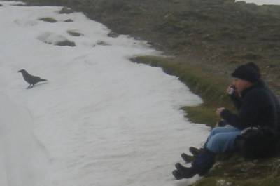
Who is enjoying the view most.
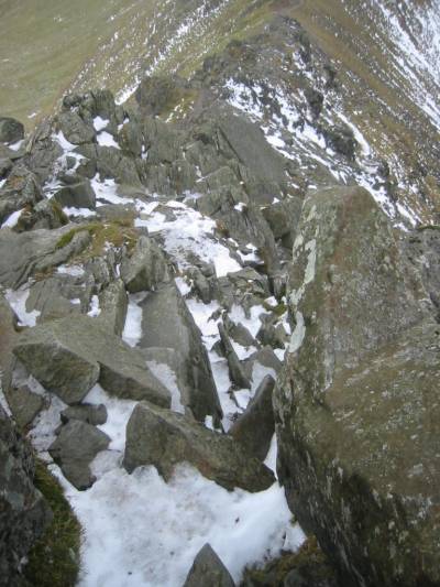
If you follow the purests' route, Swirral Edge is just as much a thrill as Striding Edge. Keep off the path!

Swirral Edge at is best.
Statistically there are more fatalities on Swirral Edge than on Striding Edge. Do not take it lightly!
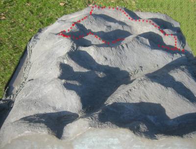
3D relief model of the Helvellyn Massif. I have drawn on today's walk with the red dots. The walk starts at far right and goes in an anti-clockwise direction.

Peter M. Burgess, 2005
'fellrunning'