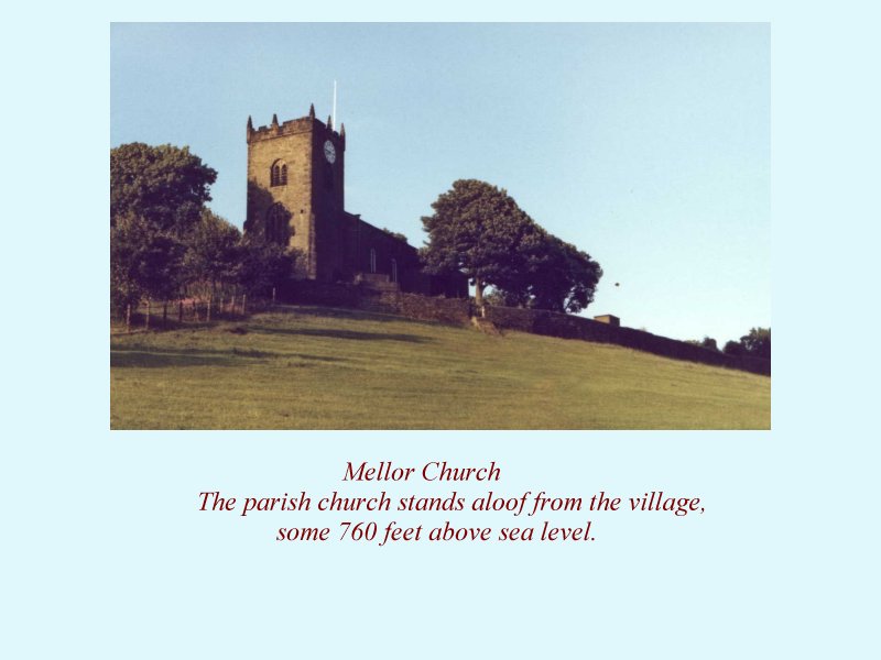
Mellor, on the edge of the Peak District National Park, is where I was born, and where I still live.
Originally in Derbyshire, it was transferred to Cheshire in 1936, and in 1974 it became part of Stockport Metropolitan Borough in the County of Greater Manchester. I have thus lived in three counties without leaving the village!
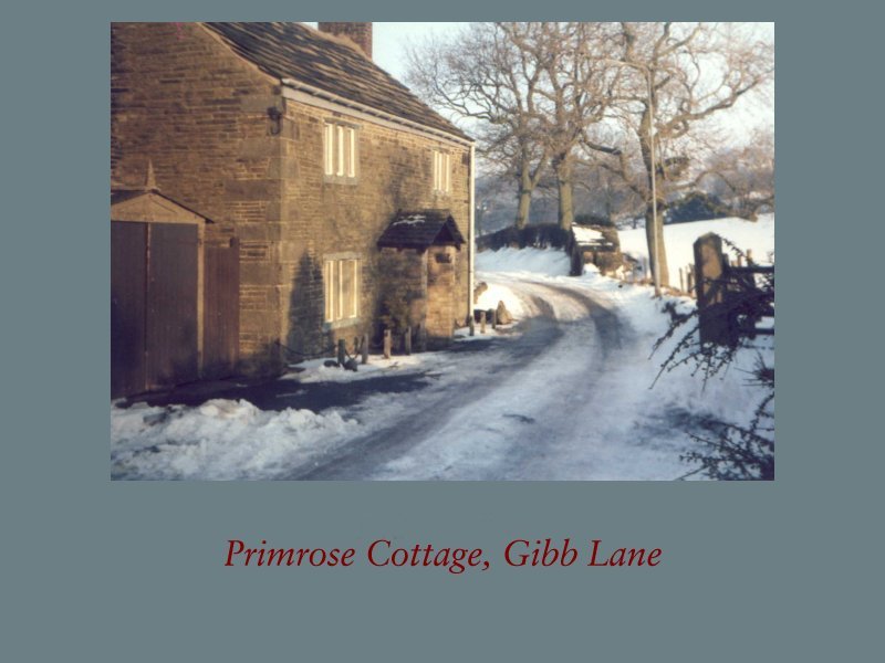
Much of Mellor lies within the Green Belt, so major housing developments are prohibited; apart from a little in-filling, the scenery has not changed greatly in the past fifty years. Most of the houses lie in a ribbon along Longhurst Lane, which then becomes Moor End Road in the upper (and older) part of the village. Small groups of houses are to be found on roads such as Clement Road, Townscliffe Lane (where I live), Highfield Road, Fernhill, Church Road and Gibb Lane, which branch off Longhurst Lane. There are a few outlying farms, but many of these are no longer productive, the land being used for ‘horsiculture’ – the feeding and exercise of horses.
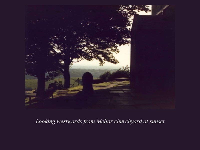
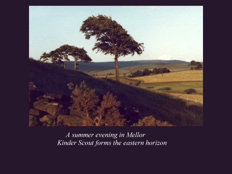
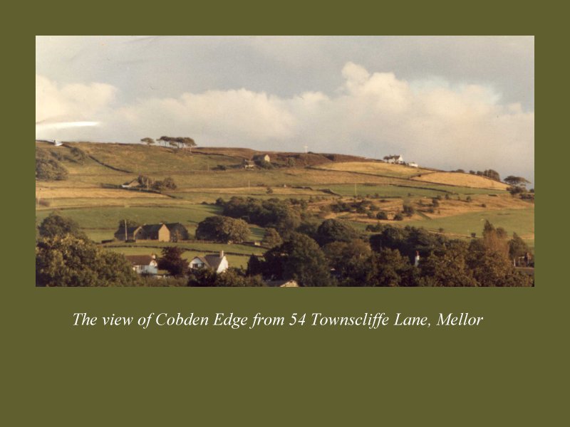
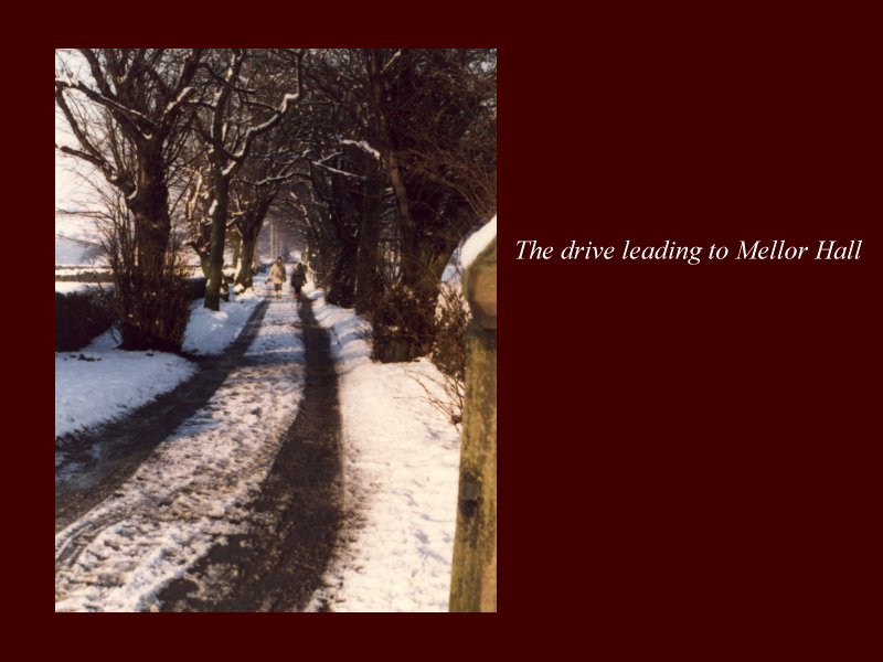
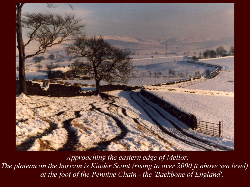
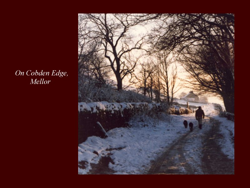
Here are a few scenes of Mellor. They are in two groups: Mellor in the Summer, and Mellor in the Snow. The pictures are best viewed in ‘full screen’ mode.
If you wish to make a comment or provide a link to this site,
please contact the author Geoff Heath on wgh@globalnet.co.uk