The Langdale Pikes via Easy Gully
Start Point: NY 2940 0634
End Point: NY 2940 0634
Distance: 4.4 miles
Max Height: 2379' or 736m
Height Ascended: 2598' or 792m
Estimated Time: 2Hrs 41 mins
Actual Time: 2Hrs
Weather: -2C at start
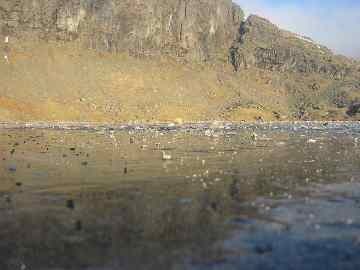
A Frozen Stickle Tarn with Pavey Ark behind
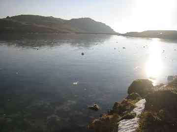
Stickle Tarn - A view towards the dam
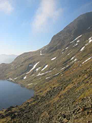
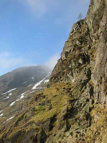
Beneath Pavey Ark looking to the flank of Harrison Stickle
A view up Jack's Rake
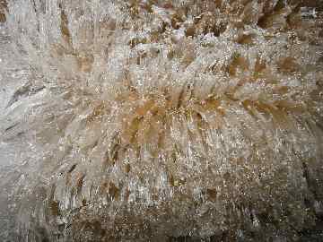
Ice Needles in Easy (or is it East?) Gully
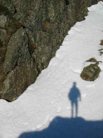
Beneath the rock step, Easy Gully
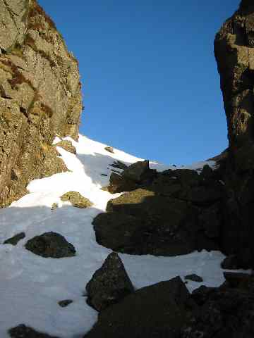
Easy Gully - exit
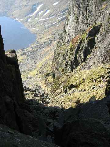
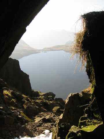
Looking down Easy Gully with Stickle Tarn below
Looking into Easy Gully
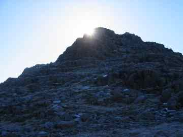
The summit of Harrison Stickle
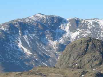
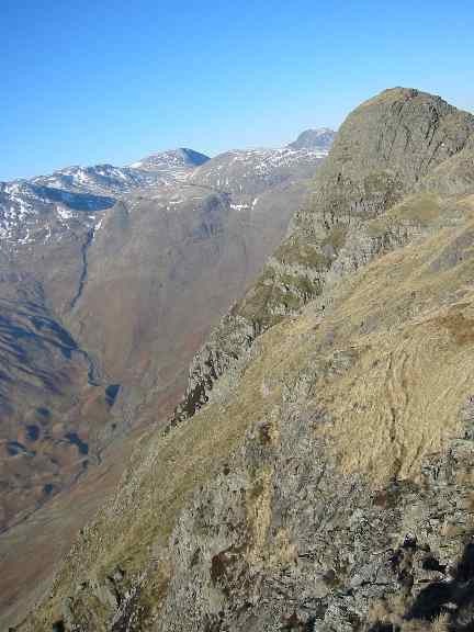
Bowfell from Harrison Stickle
Pike o' Stickle from Loft Crag
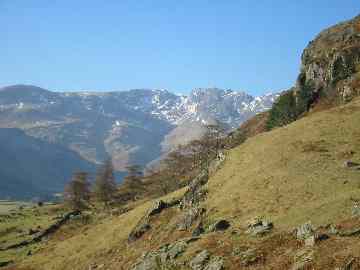
The Crinkle Crags from near Dungeon Ghyll
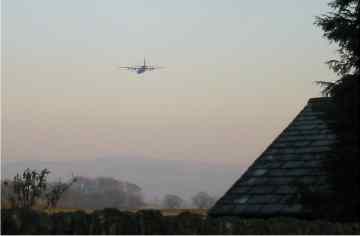
A C-130 (Hercules) flies over Cowan Head, Bowston.

Peter M. Burgess, 2003
'fellrunning'