![]()
Wednesday 16th February, 2005
Kentmere Round - Anticlockwise
A walk with Peter Burgess
Start Point: NY 455 041
End Point: NY 455 041
Distance: 13 miles
Max Height: 2718
Height Ascended: 3914
Estimated Time: 4 hours
Weather: Medium level cloud. Potentially difficult navigation. Freezing above 1200'
General Description: An anticlockwise circuit of the classic Kentmere 'round'.
.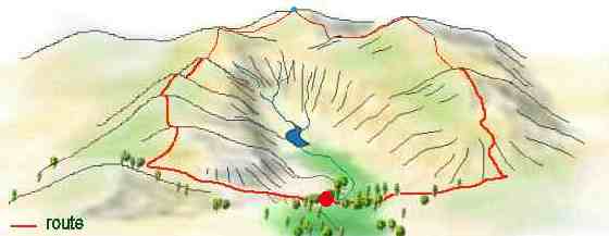
Abive: 3-D perspective showing the objective - High Street with the blue dot.
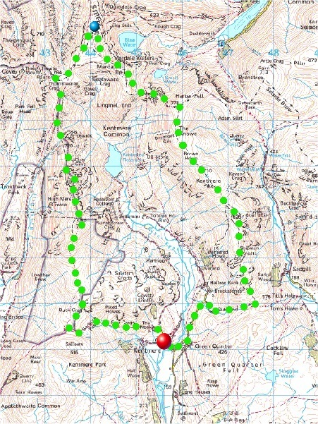
Route Map: The route shown by green dots is in an anticlockwise direction
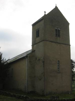
Kentmere Church - The start of the walk.
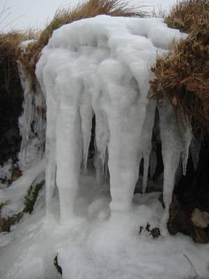
Shipman Knotts was soon clagged in so all my attentions were on the ice sculptures in the immediate vicinity.
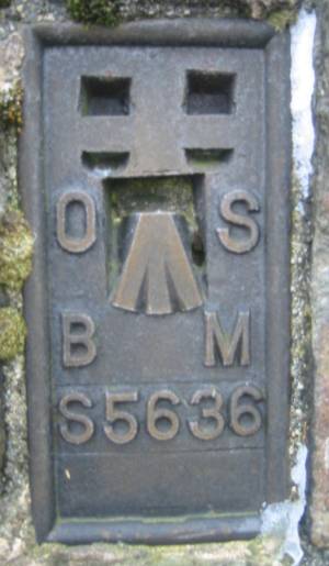
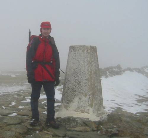
The OS Trig. Point on Kentmere Pike
Harter Fell Summit - always recognisable
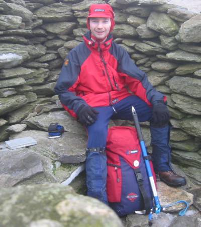
Some guy sporting his gear in the shelter at Nan Bield Pass
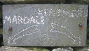
The sign in the side of the shelter
High Street summit - "Where's Boots? No, not his footwear, the chemist!"
OFC First - Message posted from this very snowdrift!

Pocket PC whilst on the fells. Is that sad or what?
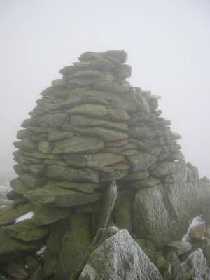
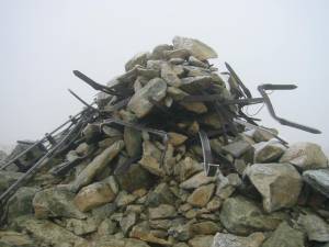
One of the cairns on Ill Bell.
The day, despite being grey and cold, was a very good walk. Very few people were encountered, except of course on High Street itself. It was a pleasant few hours with some snow to play in above about 1800 feet.

Peter M. Burgess, 2005
'fellrunning'