![]() Walk
of the Month - In the company of Rokeby School, Stratford, London.
Walk
of the Month - In the company of Rokeby School, Stratford, London.
![]()
The Kentmere Horseshoe - A Classic Lakeland Round
Information
Maps: OS 1:50000 Penrith and Keswick Landranger 90. OS 1:25000 Outdoor Leisure 5, The English Lakes North Eastern area
Grading: A technically easy but long walk over some fine mountains. Plenty of 'escape' routes where necessary.
![]() Time
Taken: 6.25 hours
Time
Taken: 6.25 hours
![]() Ascent:
4,000 feet/ 1222 metres
Ascent:
4,000 feet/ 1222 metres
![]() Distance:
13miles/ 21km
Distance:
13miles/ 21km
![]() Walk
Objective: High Street 2718 feet/ 828 metres
Walk
Objective: High Street 2718 feet/ 828 metres
![]() Start:
Kentmere church.
There is limited parking at grid reference NY 461 040. It is
better to try and gain a lift to the church or better still, why not stay in the
valley at some of the excellent accommodation on offer there as myself and the
students did. Click here for information on Camping Barn
Start:
Kentmere church.
There is limited parking at grid reference NY 461 040. It is
better to try and gain a lift to the church or better still, why not stay in the
valley at some of the excellent accommodation on offer there as myself and the
students did. Click here for information on Camping Barn
![]()
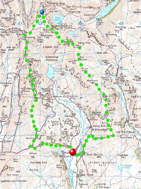
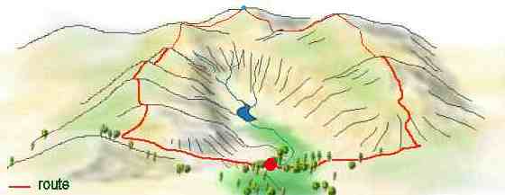
Route taken![]() Clockwise
Clockwise
Map
3-D view
![]()
A photographic account of the walk. This route poses no major route
finding difficulties. The path traverses the horseshoe by simple way of
the watershed and even in mist should pose no real difficulties. One
exception to this could be navigation on or over High Street where the narrow
ridge gives way to the summit plateau. Here it is very easy to lose
bearing and a compass should be used for better reckoning. Perhaps the
worst place to lose track is on the descent of HighStreet or Nan Bield in
mist, where it is easy to drop down into the craggy confines of Blea Water and
Small Water. Care, as in all high places, should be taken here.
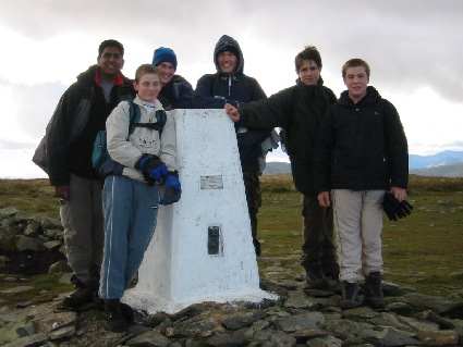
It must be noted that this particular walk was a great success. I will post a route description by one of the lads at a later date. In the meantime we should congratulate them on this worthy route completion. We returned after 10 hours but I have coyned a new phrase, "Slow is Safe!". I think they did enjoy it and I've not heard any complaints from them. There can't be too many east end lads who have tramped these beautious fells? In the words of the school motto, they did 'Dare to be the best!'
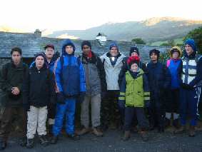 The students before they
set out. 8.40am
The students before they
set out. 8.40am
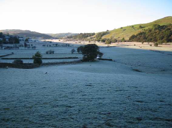
Above: A frost blankets the landscape in shadow
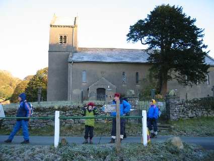
Above: Pause for thought at Kentmere Church

Above: Looking down Kentmere from 'Badger Rock'
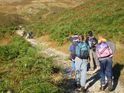
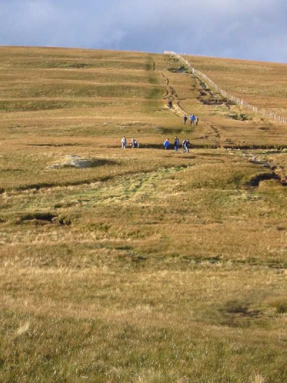
Above: On the initial ascent of the Garburn Road (going west)
![]() Click
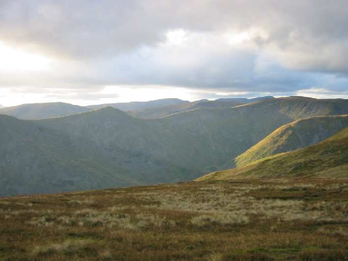
this camera for a view west from Garburn Pass
Click
this camera for a view west from Garburn Pass
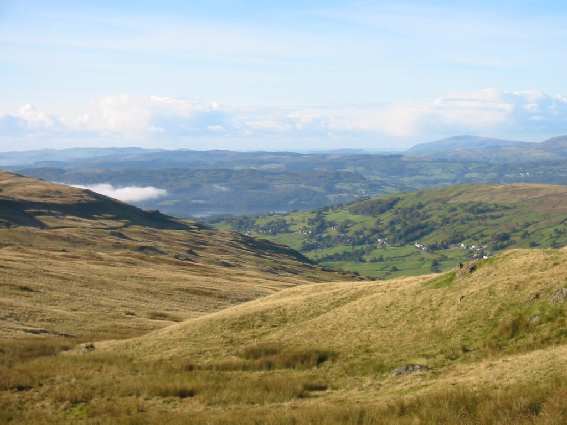
Above: Valley cloud over Windermere from the Garburn Pass
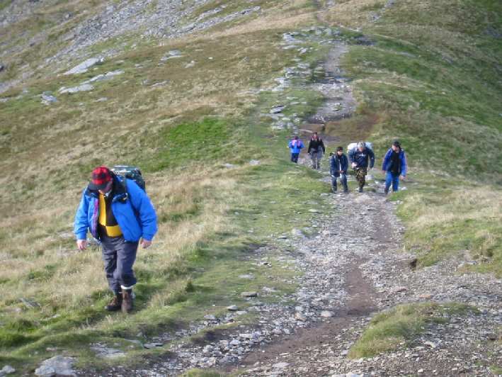
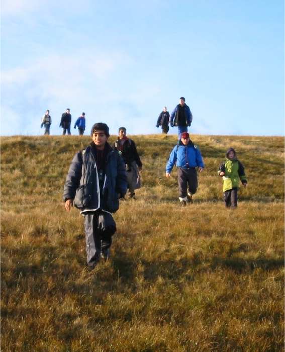
Above: Youthful vigour on the early ascent of Yoke
![]() Click
this camera for a view west from Yoke
Click
this camera for a view west from Yoke
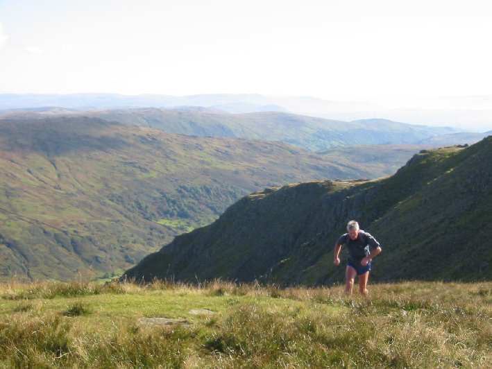
Above: This fellrunner need not stop for breath
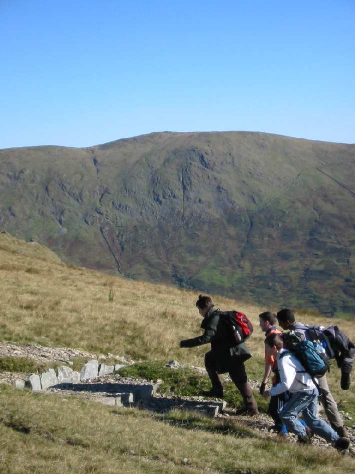
Above: Slow going off Froswick
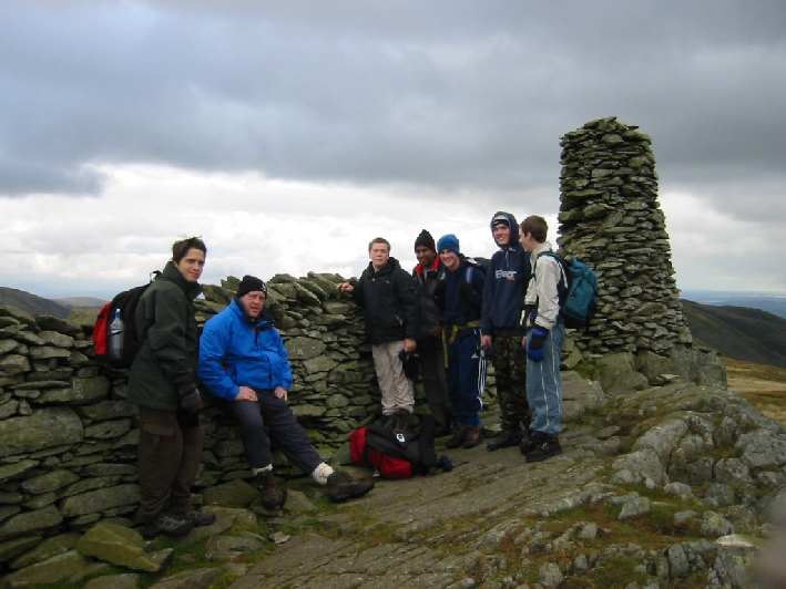
Above: At the Thornthwaite Beacon
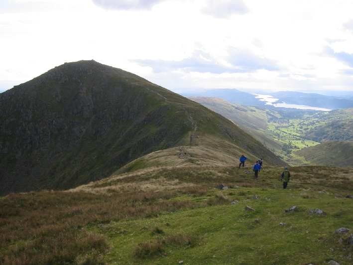
Above: Six of the lads made the summit of High Street.
"Where are the High Street shops?"
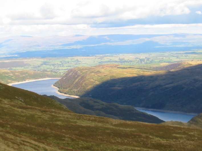
Above: Haweswater from the eastern slopes of High Street
Above: The top of Nan Bield Pass
Above: Another ascent up Harter Fell
![]() Click
this camera for a view west from Nan Bield
Click
this camera for a view west from Nan Bield
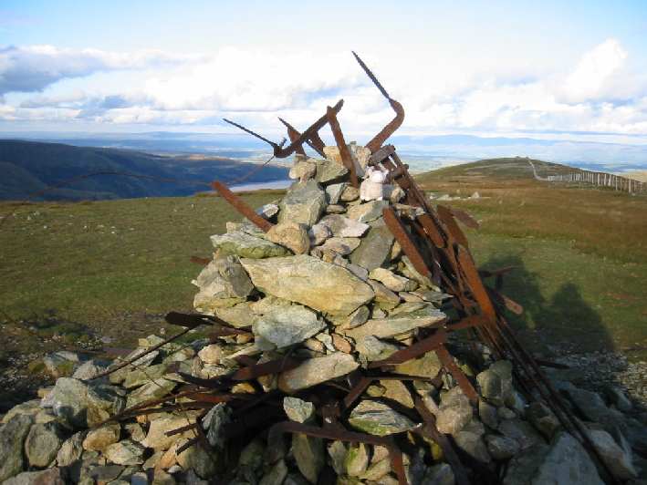
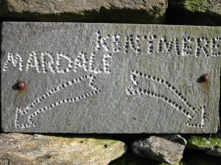
Above: These twisted, fence remains form Mardale Ill Bell's summit cairn
Above: On the long descent
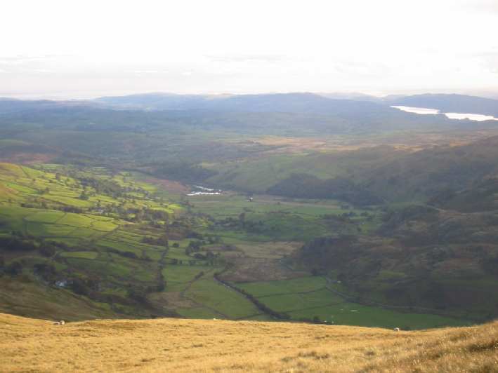
Above: View north west over the head of Kentmere
![]() Click
this camera for a view west from Kentmere Pike
Click
this camera for a view west from Kentmere Pike
Above: Coming off Kentmere Pike
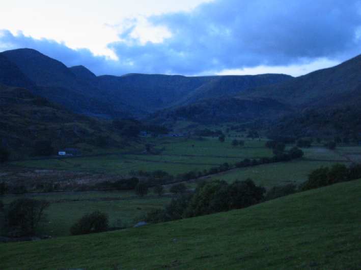
Above: Such a long day with the fading light

Rokeby School, 2002
"Dare to be the best!"