Established 1985
PPR Essential 01296 681816. Mobile 07748 557202
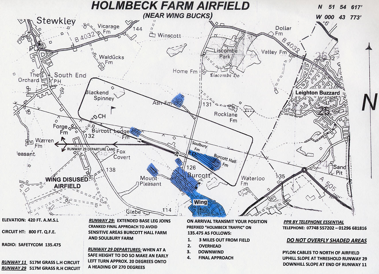
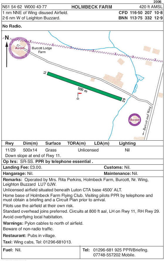
N 51º 54.6' W 0º 43.7' 420 ft amsl
Radio 135.480
Use of Radio is mandatory. You must
announce your intentions in the circuit.
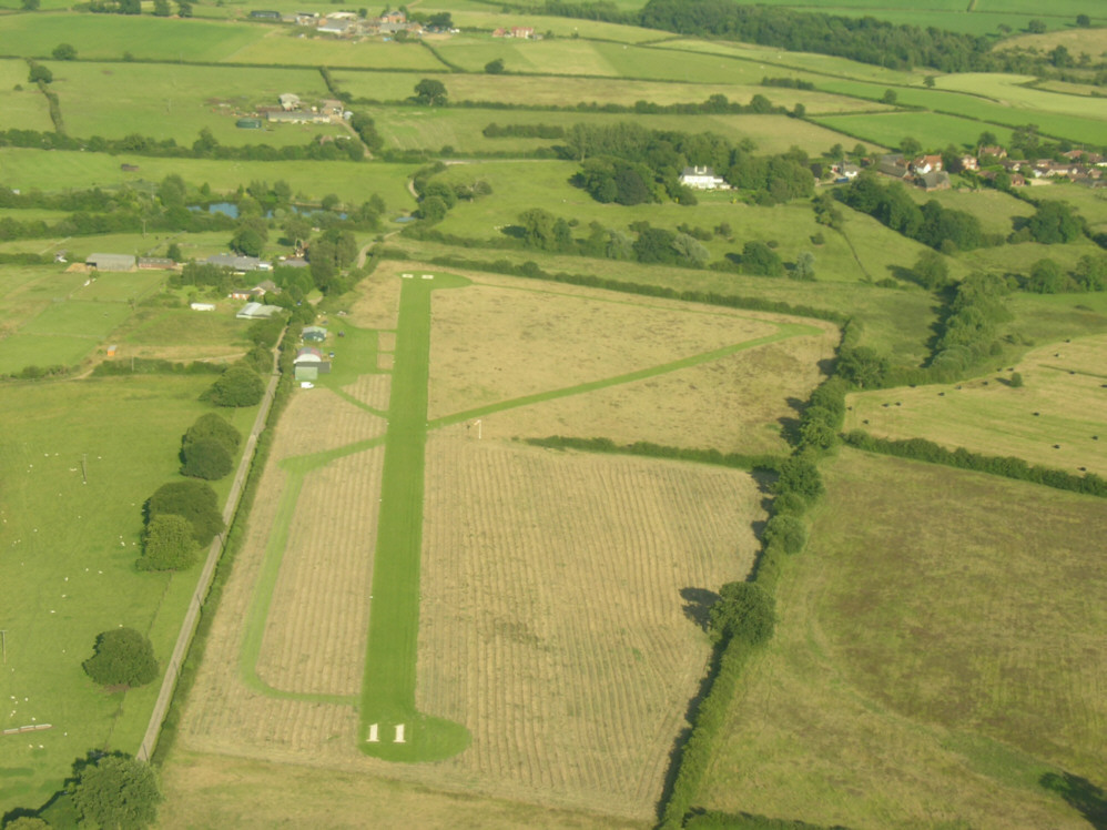
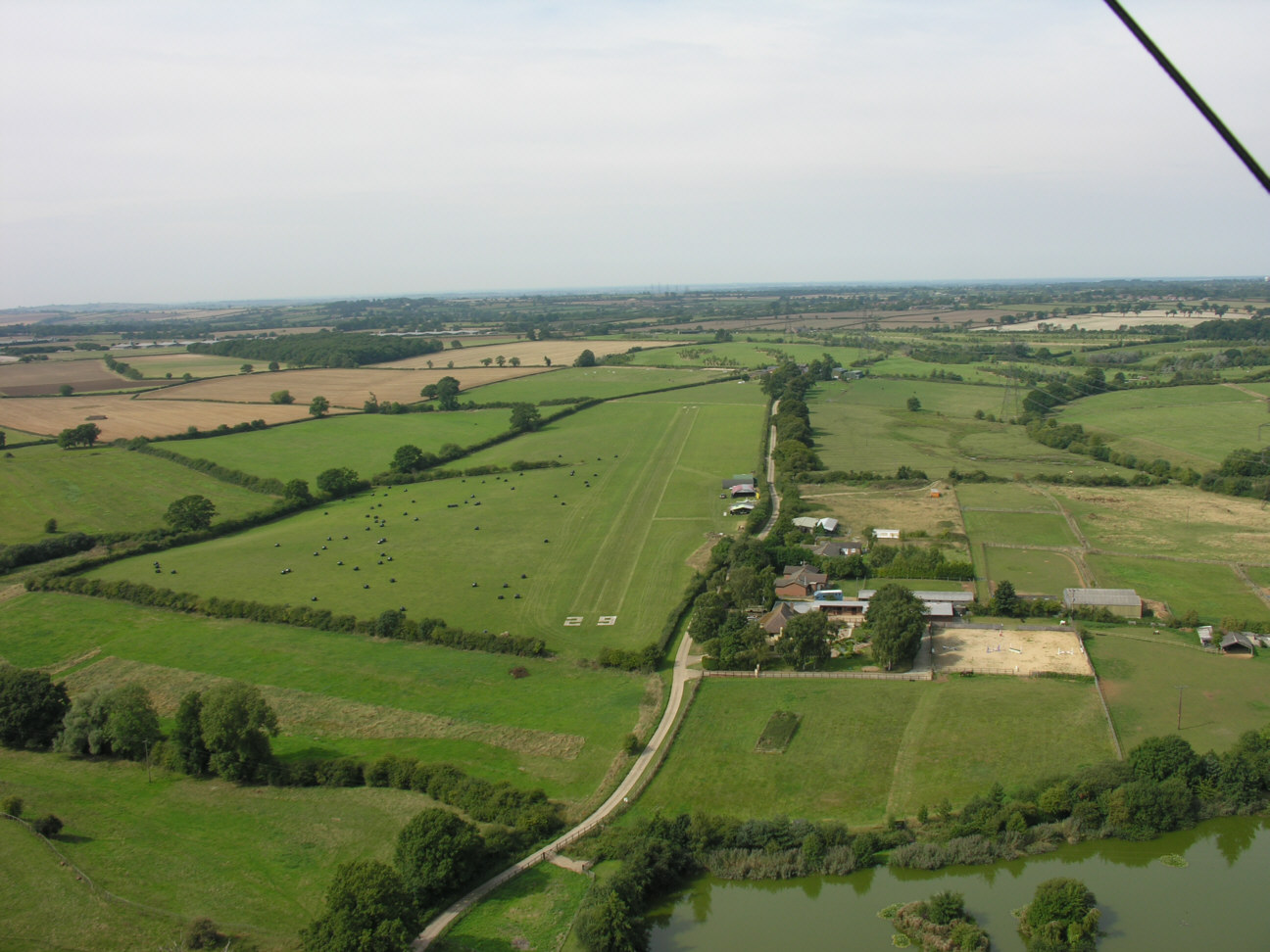
The airfield is situated between Wing disused aerodrome and Leighton Buzzard.
See airfield details below
.............
Circuits LH runway 11, RH runway 29
Be aware that Gyros based at the airfield may use a different approach
Landing fee only £5
|
|
 |
Visitors gallery ......
PPR Essential 01296 681816 please
Mob 07748 557202
|
We have our own flying instructor on site at Holmbeck Farm.
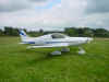
You can learn to fly in a Skyranger or a Eurostar |
Need Weather ? There's plenty here .......................
http://www.metcheck.com/V40/UK/HOBBIES/aviation_forecast.asp?locationID=191
http://www.metoffice.gov.uk/weather/uk/observations/index.html
https://www.wunderground.com/weather/gb/leighton-buzzard
http://skylinkweather.com/metar/metarmapindex.php