|
| |||
|
|
| |||
|
|
|
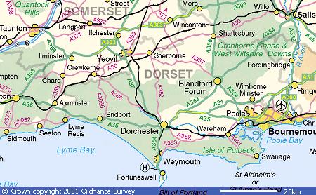
COUNTY
|
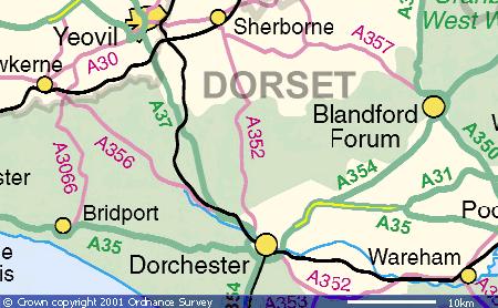 Image produced from the Ordnance Survey Get-a-map service. Image reproduced with kind permission of Ordnance Survey and Ordnance Survey of Northern Ireland. |
CERNE
ABBAS the County Town of Dorset (on
the A352 South West
|
|
From SHERBOURNE 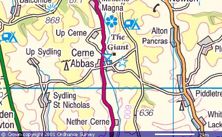 From DORCHESTER Image produced from the Ordnance Survey Get-a-map service. Image reproduced with kind permission of Ordnance Survey and Ordnance Survey of Northern Ireland. . |
CERNE ABBAS surrounding |
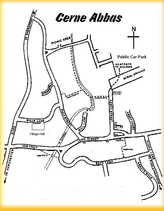 |
STREET MAP Public Car
Park
|
| . |
Page under ![]() construction
construction
We hope to include descriptions here of the Cerne Valley and its surroundings,
including some of the nearby villages.