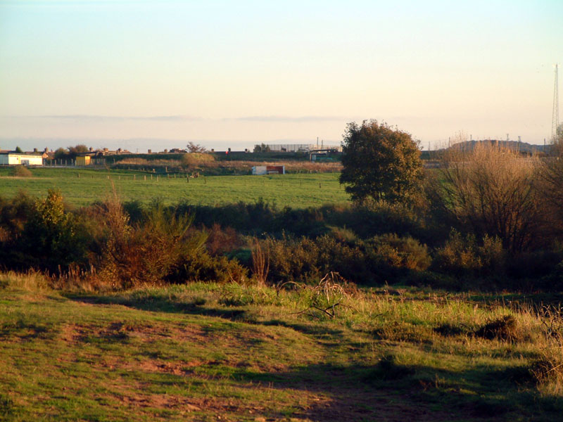
This is a general view looking across the now filled-in later quarries of Runcorn & Weston. The green field in the middle distance was the site of the main Weston quarry, whose width ran almost to the white building on the left.The quarry face was almost 1/2 mile (0.8 Km) long and >100 ft. ( >30m.) deep. This quarry was filled with chemical waste and then topped out with quarry rubble and soil. Unfortunately some vapour is rising through the rubble on this side if the quarry and has caused several houses to be abandoned and demolished.
The rougher foreground, up to the hedge boundary of the green field, was the site of another quarry which was used as a refuse tip by the local council in the 1960's until it was full. It was then covered with a thin layer of sandstone rubble and reopened as part of the public amenities.
Some of the houses in Weston village can be seen in the background. These are built on solid sandstone, not rubble, and have not been affected by the chemical waste