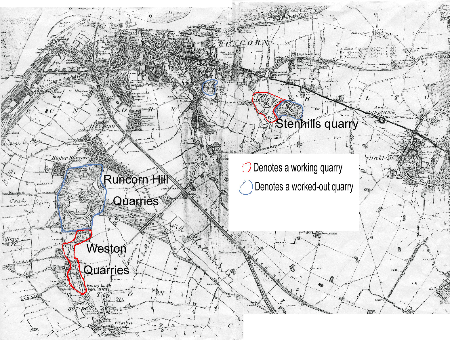
A map of about 1870, on which I have tried to show the extent of the sandstone quarries around the Runcorn/Weston area. Runcorn is at the top, Weston at the bottom. ( Weston Point lies off he map on the left)The wide band running almost diagonally across from uppermiddle to lower right is the main railway line. The older quarries at the top are shown as having been filled in even by this time.