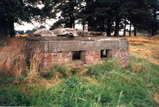
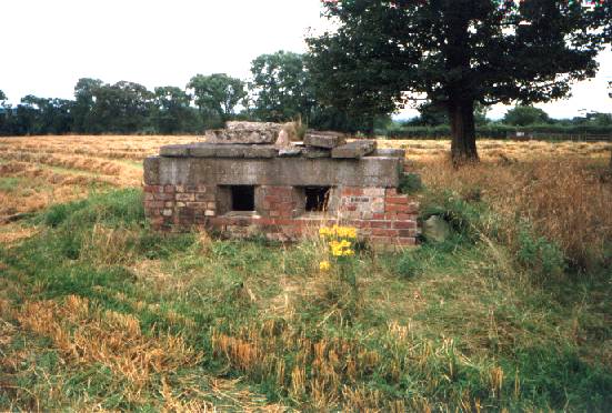
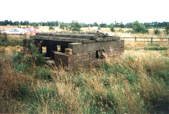
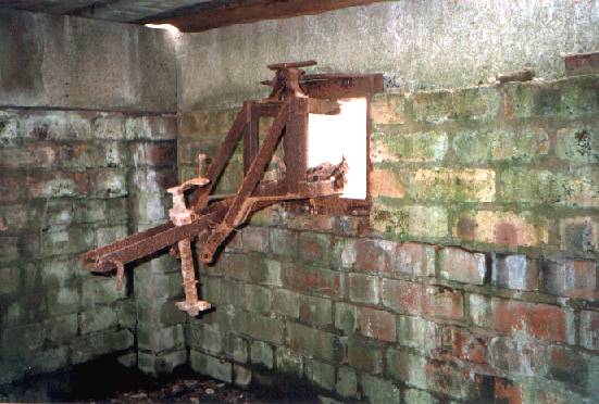
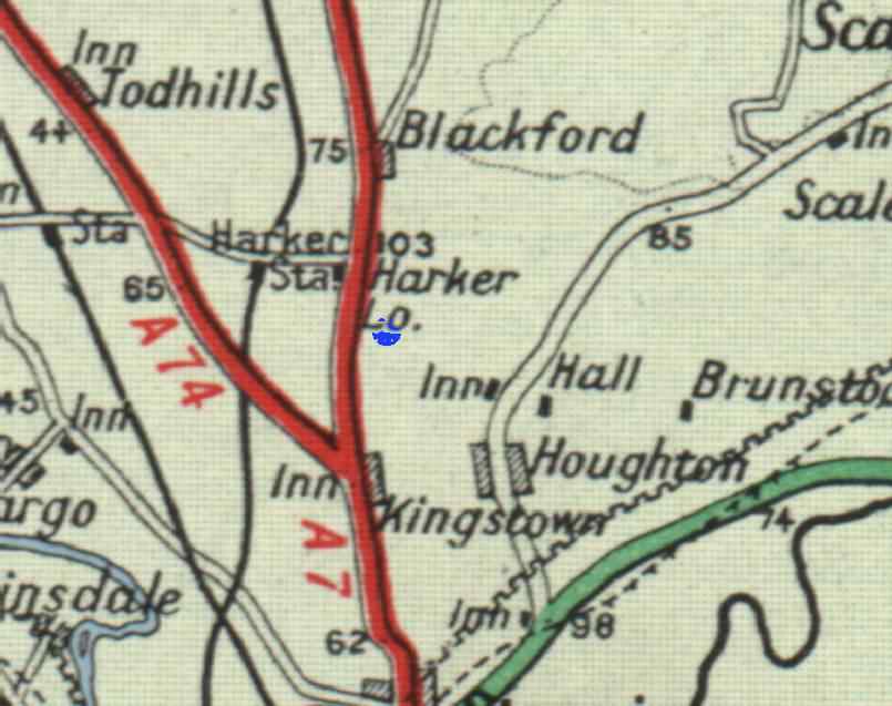
 This pill-box
can be seen when exiting the M6 North at Junction 44,
Greymoorhill, the last exit before Scotland. To put it
into its proper context, I have shown where it is on a
1950's road-map (blue dot, right, NGR NY 395 598). The
embrasures look East and North, possibly looking at the
main A7 to Longtown, and the Houghton road, which leads
to Crosby-on-Eden aerodrome. RAF 14 M.U Carlisle lies to
the West.
This pill-box
can be seen when exiting the M6 North at Junction 44,
Greymoorhill, the last exit before Scotland. To put it
into its proper context, I have shown where it is on a
1950's road-map (blue dot, right, NGR NY 395 598). The
embrasures look East and North, possibly looking at the
main A7 to Longtown, and the Houghton road, which leads
to Crosby-on-Eden aerodrome. RAF 14 M.U Carlisle lies to
the West.This pill-box does not feature on the Inland anti-invasion defences list , and is probably of military origin. Hadrian's Camp - a large wartime training establishment - was about a mile or so south from here, though I am told it might have had something to do with the nearby Kingstown aerodrome - now long gone and subsumed within the trading estate.
