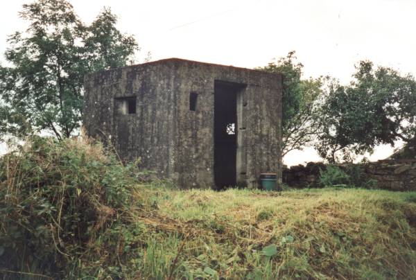
A pair of pill-boxes in close proximity - about fifty metres apart - guard a weak point in what was the main A590 Barrow-In-Furness trunk road, just west of where the River Winster crosses it. The pill-box shown below has loop-holes designed for rifle or light machine-gun use.
The actual construction of pill-boxes varies quite significantly, as the original guidelines for building them was rather vague, and requirements changed rapidly; many being "tailored" to their surroundings. The thickness of these pill-boxes is significantly thinner than those built to the same pattern on - say - the south-east coast.

It is probable that the bridge was mined, or plans made to demolish it if it could not be held, should an invasion from the east have been iminent. It is even more probable that a road- block was set up here. This "nodal-point" was part of the defences along the long and winding road to the Barrow peninsula. I took much pleasure from the discovery of another pillbox (not shown) at High Newton, about three miles west of the ones shown here, also on the A590.....
....It is part of someone's garden, has glazed loop-holes, and is bedecked with garden gnomes!

|

|
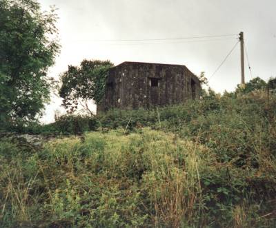
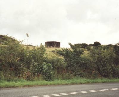
| The westernmost pill-box of the pair, imposing up a sharp bank. | The less obtrusive (surprisingly) easternmost pill-box, set further back in a field. |
 |
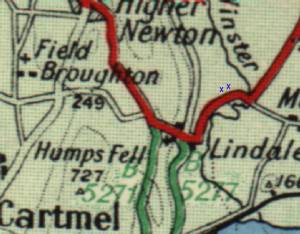
LEFT: Contemporary road map of the area with the blue crosses representing the pill-boxes. |
Home | Contents | Workington | Links | E-Mail